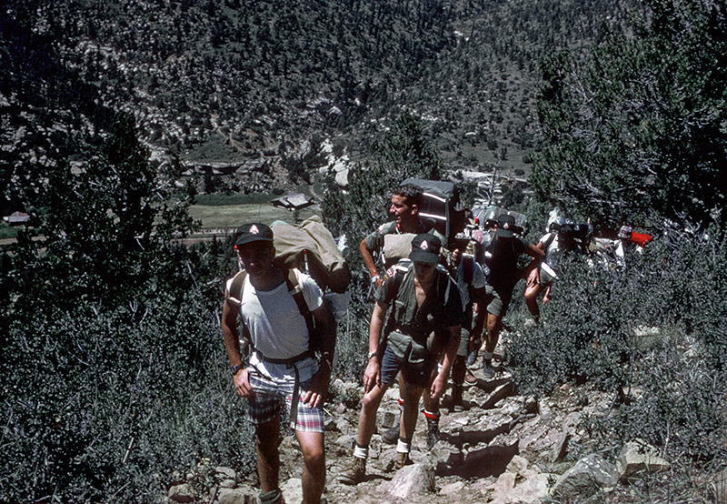
On the way to Skyline
The hike to Ponil was deceptively easy - four miles on a dirt road. Things sure changed when we turned towards New Dean. We had a very steep and steady climb from the valley floor seen in the background of this picture. We were carrying very full packs with all of our gear and food, it was hot, and the altitude took some getting used to.
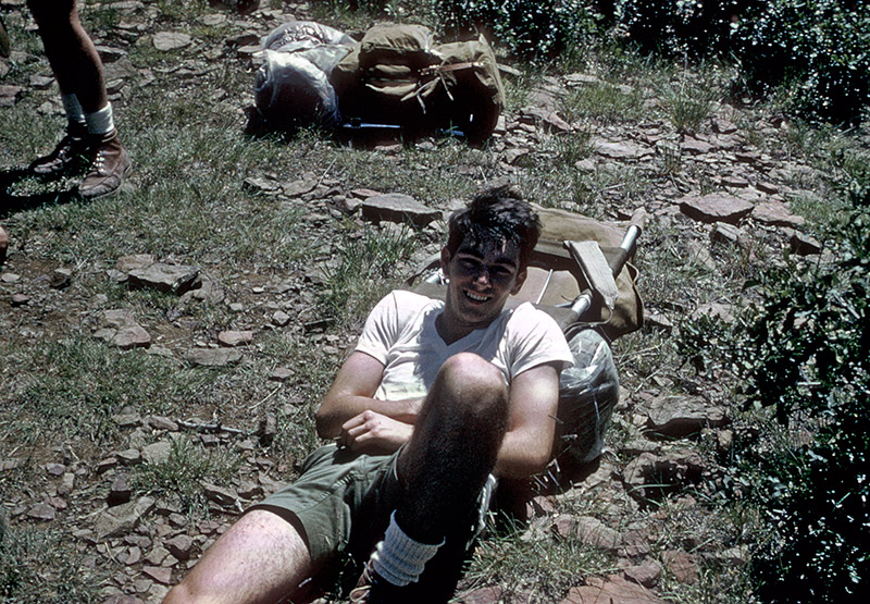
Bob Spencer recovering after the climb
Bob wasn't the only one glad to survive the trip to the top. As the trail guide noted, the view was great. There were some large pine trees up top, which provided some shade, and grassy areas between them. Even though we were resting on rocks, as seen in this picture, it felt great to get off our feet after that climb.
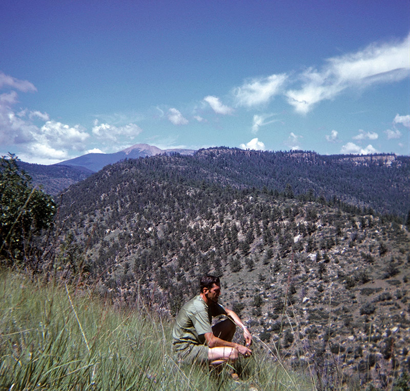
Harold Snedeker at Skyline
That's Baldy Mountain in the background. It's hard to believe we would have hiked there in the next three days. It looks like our fearless leader was still wearing his uniform for some reason.
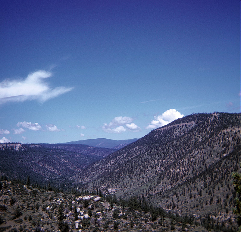
View from Skyline
There's not much in the way of trees on any of these hills. Jim Mokri explained that this was due to large scale tree cutting operations from years past. The loggers would clear cut a hill, leaving nothing behind but stumps. Besides not leaving any trees behind to spread seeds that might lead to new trees, the logging caused much of the topsoil to be lost through erosion. That makes it next to impossible for seedlings to get a foothold.
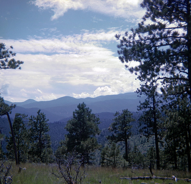
Another view from Skyline
As mentioned earlier, there were some nice-sized pine trees at the top of Skyline. Having climbed up that hill I can only assume the loggers didn't think it was worth it to come up and add these trees to their haul.
From here it was downhill to New Dean. Total distance hiked was approximately 7 miles.